Latest downloadable Dili-Landmarks.kmz file (January 2010)
Landmarks as they were in September 2007 Dili-Landmarks-Sep2007.kmz
Recent additions : numerous
[Editor’s Note : For those who know, I returned to Dili in late 2009 and amongst other things, noted many changes. I have tried to incorporate them here.]
Most people who come to Dili struggle a bit obtaining a decent map which is (a) to scale, (b) resembles current conditions and (c) has locations of key landmarks. (Note : The Guide Post magazine did come to the rescue in October 2006 but long after I had this going.)
Then along comes Google Earth and earlier in 2006 (I think), the security problems here probably pushed Google to include detailed satellite photography of Dili. The initial satellite photography was probably taken in 2005 sometime (and before November). Its not that hard to work out if you are familiar with some local changes in features. For instance, the Central Maritime Hotel left earlier in 2006 but still took a significant place in the satellite photos until the photos were updated in January 2007.
When you are directed to any location in Dili, one never hears an address with a street and street number. Streets do have names but few have signs so no visitor actually ever knows. Directions are always something like “400 metres west of the Leader supermarket” or something like that. I seem to recall in my first couple of months saying “but where is Leader supermarket?”. Then you are in trouble.
So I started up some placemark locators in Google Earth and I am now making them available for public use. I will try to keep them up-to-date and welcome any suggestions. I have the Dili-Landmarks.kmz file which can be dragged and dropped into Google Earth after downloading. The locations should appear in the “Temporary Places” folder of your “Places” list on the left.
By the way, most people in Dili do not have access to fast internet bandwidth so it could take forever to download the imagery from Google. Once downloaded, the images should stay cached in Google Earth on your computer provided your cache is big enough and you do not spend too much time “earth surfing” elsewhere. I did all my loading up while on a short trip to OZ with my laptop. And months later, it was still there EXCEPT when Google update the satellite photos, like they did in January 2007.
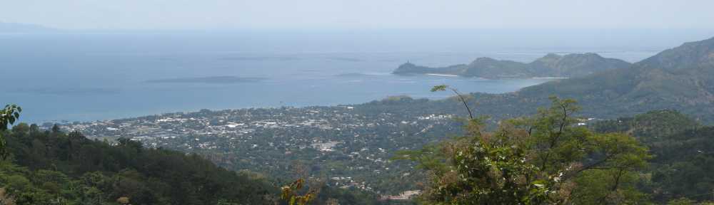
Google Earth Example

Pingback: Dili-gence » Where am I ?
Pingback: Google Earth Overlays for Timor-Leste « Ita bá ne’ebé
Pingback: Dili-gence » Changes, always changes